Geotechnical News • March 2015
53
GEO-INTEREST
Share and share alike
Gary Morin
Sharing of geotechnical data for
use in Building Information Model-
ling should result in more informed
decision-making, improved collabora-
tion and emphasise the importance of
geotechnics.
It has been well-documented that
Building Information Modelling
(BIM) enables better decision making
during the planning and design stages
of a project, throughout the construc-
tion process and into the operational
and maintenance phases.
However models sometimes appear
to neglect geotechnical aspects. BIM
often appears to start from the ground
up, with the subsurface considered
as an homogenous substance. This
implies there is no risk in the ground,
which is clearly untrue.
In fact, there is a host of benefits to
applying BIM principles to geotechni-
cal data management and including
geotechnical data in BIM: it allows
considered design optioneering and
refinement at the outset of a proj-
ect; minimises geotechnical risk in
construction and enables cost-effective
repairs and maintenance of assets
throughout the project’s lifetime.
Using BIM means geotechnical
contractors and consultants can col-
laborate easily. Data sharing and
central data management results in
big improvements in efficiency and
quality.
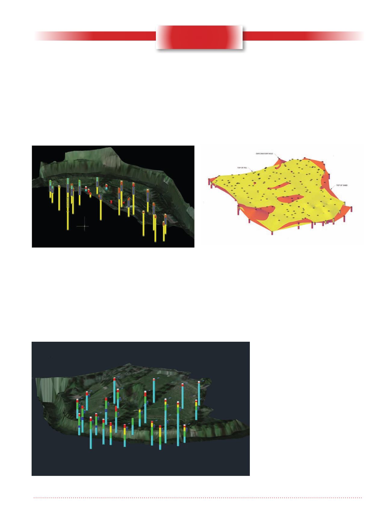
Incorporating geotechnical data in BIM aids design
optioneering and refinement at the outset of a project.
Geotechnical modelling in BIM can lead to a more complete understanding
of project elements.
The HoleBASE SI Extension for AutoCAD® Civil 3D
enables rapid visualisation of borehole data, allowing
creation of 3D layouts and sub-surfaces.


