20
Geotechnical News • June 2019
COMPUTING IN GEOTECHNICAL ENGINEERING
From the GS Board
Scottish Geologist)
,
shaped the heroic
age of British geology. Geology was
very much a Scottish pursuit and so I
decided to be a Geologist too. Walk-
ing around the British countryside
appealed to me.
After my first degree and with my
additional training in statistics during
the first year of my PhD research, I
realized that what I was doing was
Engineering Geology. My research
was associated with an inter-depart-
mental rock mechanics project. Until
then I considered myself a Structural
Geologist.
CLS
: What have been your research
interests and have they changed over
time?
DMC
: In the late 1960s and early
1970s at Elliot Lake, I was interested
in the deformation properties of rock
materials; how a cylinder of rock put
in a press under constant stress would
deform—a creep test. We thought then
that creep had three phases: a decel-
erating rate, a constant rate or steady-
state, and an accelerating rate –the
phase before failure. I discovered that
there are only two phases of creep:
decelerating and accelerating. This
discovery was important at the time
for underground nuclear waste dis-
posal which requires caverns in a rock
mass to last for thousands of years,
not the usual design life for mines. If
there was steady-state creep it would
become very difficult to maintain a
rock cavern for a very long period of
time.
When I joined the faculty of the Uni-
versity of Alberta in 1971, the Federal
government was funding a coopera-
tive government / university / industry
Pit Slope Research Program to help
develop techniques for designing
stable slopes in large open-pit mines.
One task of the research was to inves-
tigate previous failures. John Krahn,
a graduate student at the time, and I
went to the Frank Slide, the 1903 rock
slide over a coal mine in the Crows-
nest Pass in southern Alberta. One
question we had was how had mining
within the toe of the slope influenced
the stability? We were fascinated.
Presently, I am interested in the
ground hazards affecting Canadian
railways. From a risk management
point of view, it is important to have
access to a long history of hazards and
descriptions of how they have been
managed. However, over the course of
my career, I have researched a variety
of topics in Engineering Geology and
Rock Mechanics, especially those
related to landslides.
CLS
: Has there been one project that
you found particularly interesting?
DMC
: I have found all of my research
projects interesting, however, one
project stands out. In the early 1990s,
the international landslide community
began a worldwide project associated
with UNESCO’s International Decade
for Natural Disaster Reduction. During
the decade, that community formed a
“Working Party on World Landslide
Inventory”. We asked the questions:
how many landslides were there in
the world, and how should we count
them. I chaired a group of 52 Working
Party members, from 33 countries. We
put together publications on defining
a landslide and naming its parts, and a
number of publications on suggested
methods for describing landslide
activity, rate of movement, causes and
remedial measures. We also produced
the Multilingual Landslide Glossary of
the terms we had defined to describe
landslides.
CLS
: You are well known for your
landslide research. What are the big-
gest challenges in this field?
DMC
: Landslide research is still
young. Kinematics is one of the most
difficult challenges. We have few
observations of landslides moving
rapidly, and it’s difficult to carry
out mechanical analysis without
knowledge of the kinematics. Did the
landslide move as one body, two bod-
ies, or many bodies? Until you answer
that question, your analysis may not
be very useful or helpful. We need to
have more observations from displac-
ing masses to correctly model the
mechanics.
CLS
: How do you think Engineer-
ing Geology has evolved during the
course of your career?
DMC
: It really has changed an
enormous amount since I started
my career. As examples, when we
resumed monitoring the Frank Slide
in the 1970s, we used to have to climb
Turtle Mountain to make observations
and take measurements. Now there are
sensors installed that can be queried
over the internet, and as many obser-
vations as you need can be obtained
without sweating. Or you can fly your
drone over an area of interest—no
need to walk there to see what is going
on. We are replacing field observations
with instruments and the data stream
has become much larger and broader.
We now have more data, which means
better opportunities for better diagno-
ses and better outcomes.
What has not changed is the natural
world’s ability to surprise us. Kim-
berlites in Alberta? Late Cretaceous
bentonite seams having local sources?
Oil sand tailings containing swelling
clays? These are “Black Swans”, in
Nassim Taleb’s terminology, predict-
ably unpredicted. We must learn to
expect them.
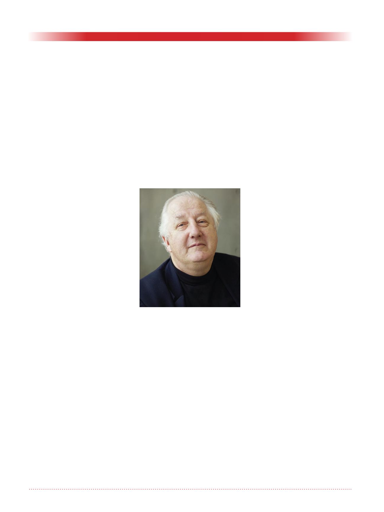
David M. Cruden.


