Geotechnical News • September 2018
23
COMPUTING IN GEOTECHNICAL ENGINEERING
From the GS Board
considered both cultural and heritage
resources.
Embankment design and
construction
To minimize thaw beneath the road
embankment, the design included a
minimum embankment height for
each representative terrain type. The
representative terrain types were
established based on terrain mapping,
geothermal analyses and engineering
judgement.
Granular materials used for embank-
ment fill were relatively scarce along
the alignment. Surficial geology map-
ping identified potential borrow sites,
then approximately 700 boreholes
delineated and characterized the mate-
rials. The materials were categorized
as sand with some gravel, to silty sand
with a trace of gravel. These materials
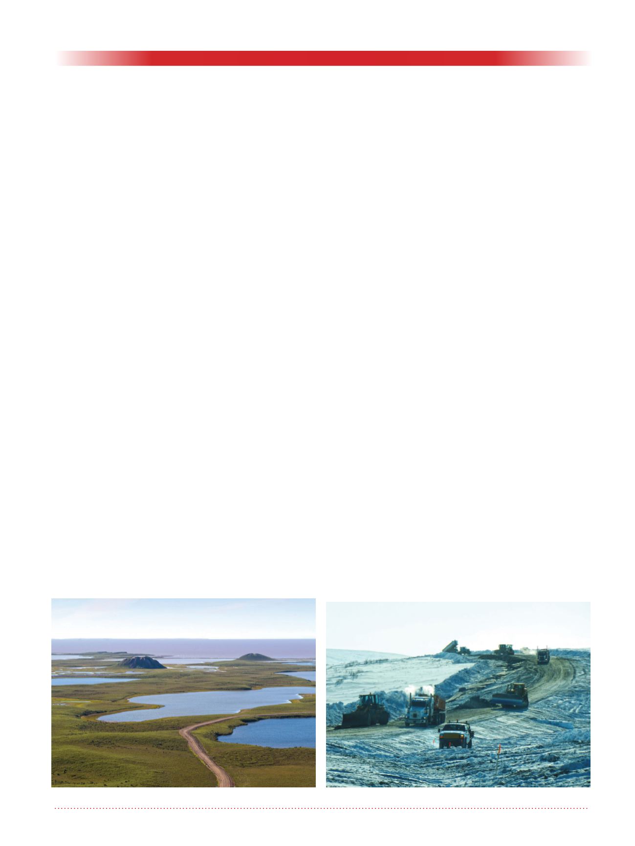
were excavated, hauled, placed and
compacted in a frozen state on the fro-
zen tundra during the winter months
(Figure 6). The organic cover overly-
ing the ice-rich soils, was left in place
to act as a separator and a protective
insulating layer. No cuts were made
along the highway.
Because frozen soils cannot be com-
pacted to the same density as unfrozen
soils, specifications for material selec-
tion, placement and compaction were
developed by establishing gradation
specifications, maximum ice con-
tent, unfrozen moisture content and
minimum compaction requirements.
The embankment settlement, result-
ing from the compacted frozen soils
thawing in the summer months, was
estimated and incorporated into the
design as an embankment overbuild.
A non-woven geotextile was placed
beneath the embankment side slopes
to separate the embankment fill from
the underlying tundra, and to provide
reinforcement to reduce the potential
for lateral embankment spreading.
Some thawing is expected where the
embankment fill thins towards the
side slopes, and the embankment was
designed accordingly.
Efforts were taken to avoid the con-
centration of surface water flow and
ponded water along the road embank-
ment. Culverts were installed at all
low points along the embankment
to minimize ponding, and drainage
ditches were not excavated.
Summary
On November 15, 2017, the Inuvik
to Tuktoyaktuk Highway became
the first Canadian highway entirely
constructed on continuous permafrost
terrain. The sensitive ice-rich soils
along the alignment required careful
embankment design and construction
considerations. Preserving the exist-
ing permafrost condition to support
the road embankment was critical in
minimizing the risk of thermal degra-
dation and associated thaw-settlement
and instability of the embankment.
To protect the permafrost, a ‘fill-only’
embankment design was employed,
and construction took place during the
winter months, placing frozen granular
materials on the frozen tundra.
Ed M. Grozic
Principal Specialist,
Arctic Development,
Tetra Tech Canada Inc.
115, 200 Rivercrest Drive SE,
Calgary, AB T2C 2X5
Direct: 403-723-6858,
Cell: 403-968-6858
Figure 5. Pingos.
Figure 6. Winter construction.


