Geotechnical News • December 2015
31
GEOTECHNICAL INSTRUMENTATION NEWS
to an office environment and complete
calculations and produce deformation
results. Now the process was specified
to be more streamlined and provide
same day turn around and include
forms of automated notification to
stakeholders of deformations above
limits.
In order to assure that quality data
were to be provided per specifica-
tion the language was changed to
incorporate RTS measurements with
other geotechnical monitoring data
under what is often referred to as the
Geotechnical Instrumentation Engi-
neer (GIE). This engineer, typically
required to be a Professional Engineer
in the state/province that the work is
undertaken is specified to have many
years of experience with the instal-
lation, use and interpretation of data
from all of the monitoring instruments
to be installed per the contract includ-
ing the RTS. Beyond this general
qualification for the GIE there is little
requirement for the experience of
technicians or the GIE for reduction of
RTS data for use in deformation moni-
toring as it relates to the statistical or
realistic reliability of the monitoring
data. There have been a small number
of specifications that include a require-
ment for an AMTS (RTS) Specialist.
These specifications generally require
that this position be filled by a person
with two to three years of experi-
ence with and having successfully
completed some number of similar
projects involving RTS monitoring.
Relevant experience for
practitioners
The practice of land surveying is often
defined by 50 United State and one
district boards and similarly in the
remainder of North America as that
practice which includes special knowl-
edge and application of mathematics
to measuring, plotting and layout of
dimensions, areas and volumes on
and above the earth or of/on man-
made structures. It also includes the
location, layout, measurement of the
lengths and directions of boundary
lines (property lines), monumentation
thereof and the application of legal
rules and regulations for legal descrip-
tions and conveyance of real property.
The Professional Land Surveyor (PLS)
is entrusted with taking measure-
ments of the earth and structures and
applying mathematical and regulatory
principals to determine positions and
elevations.
Professional Engineering is often
defined by 50 United State boards
and similarly in the remainder of
North America as that practice which
includes the planning, designing,
composing, evaluating, advising,
reporting, directing or supervising that
requires the application of engineer-
ing principles which concerns the
safeguarding of life, health, property,
economic interests, the public welfare
or the environment, see Figure 2.
Professional Engineers (PEs) work
to guarantee the public’s safety and
promote its interest where engineering
matters are concerned. They must also
ensure that provincial laws adequately
and properly serve and protect the
public, and participate in the establish-
ment and maintenance of engineering
standards while adhering to a code of
ethics.
Now every state and province regu-
lates the practice of engineering to
ensure public safety by granting only
PEs the authority to sign and seal
engineering plans and offer their ser-
vices to the public.
PEs are defined by various disci-
plines, (Civil, Structural, Mechanical,
Electrical, Nuclear, etc.) by various
state and provincial boards, typically
with different testing and experience
requirements. Often the state and pro-
vincial boards for both PEs and PLSs
are under the same administrative arm.
Important to this discussion is that PE
and PLS standards of care require that
they shall only undertake assignments
when qualified by education or experi-
ence in the specific technical fields
involved.
This goes to the heart of this discus-
sion. Is a Professional Engineer,
licensed in the state/province where
work is being performed, or any other
state/providence for that matter, quali-
fied to administer a RTS program?
To answer that lets first discuss the
process of the design and implementa-
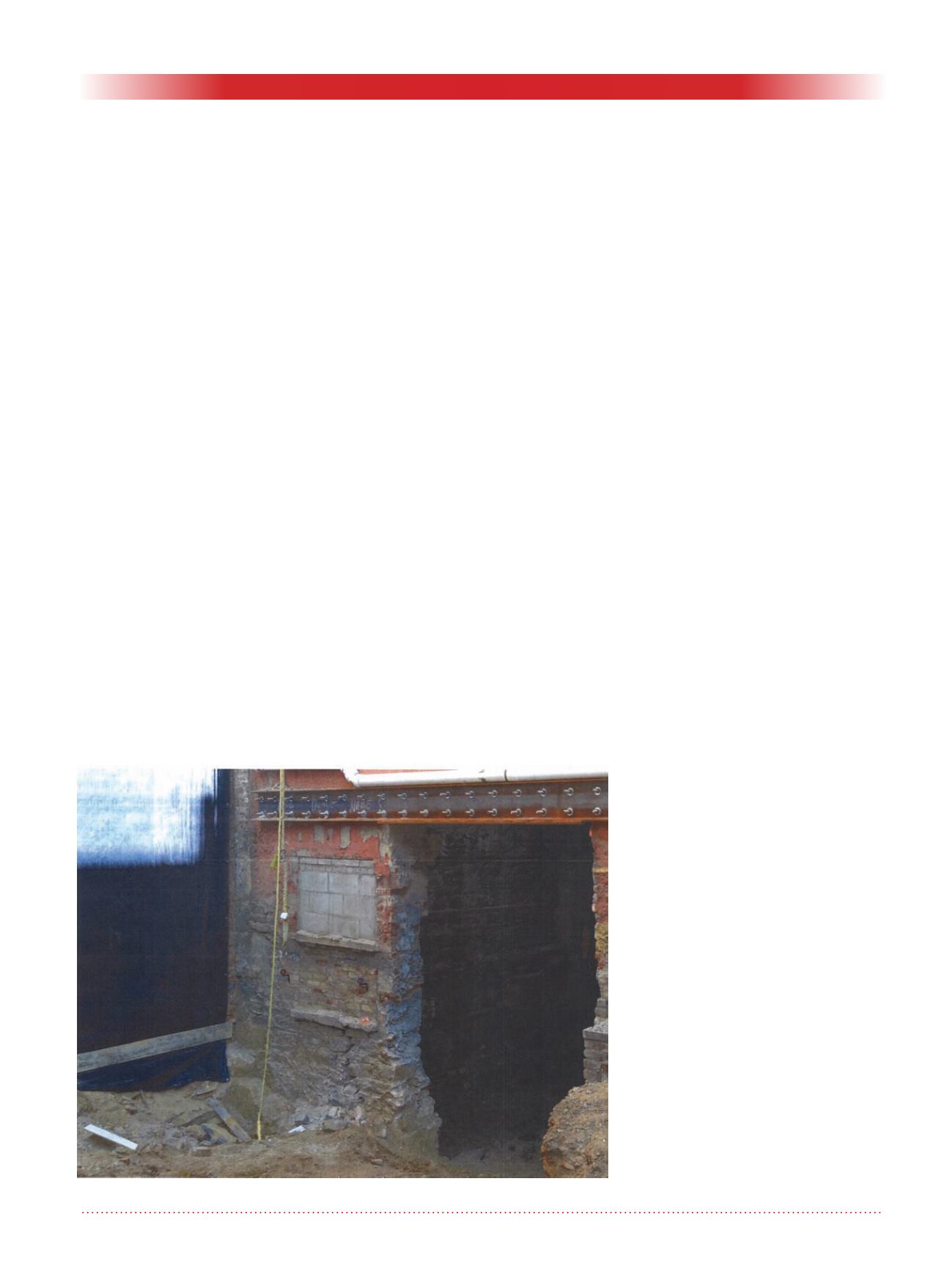
Figure 2. Prisms monitoring large crack in a building.


